To properly display this page you need a browser with JavaScript support.
File Name of the raster file or tiled map.
Supported formats:
Add Use this button to add another tile to the current list.
This addition must be save using
button in order not to be lost.
The added tile must also be resized accordingly (8).
Available only when a map is already loaded.
Clear Free the memory from the actual loaded raster map.
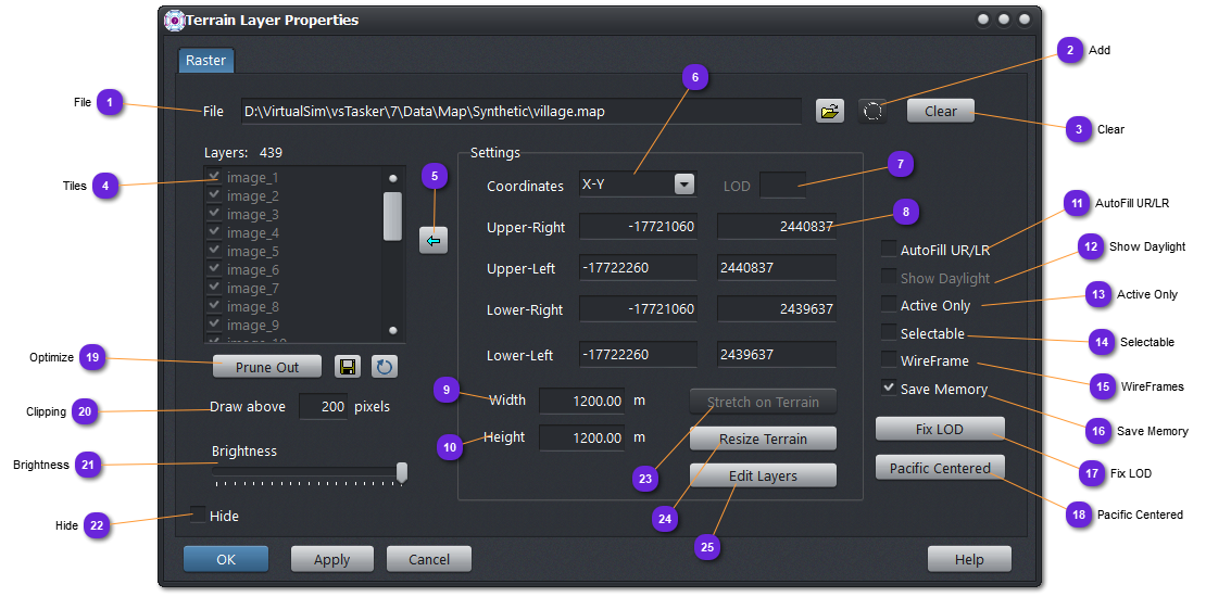
Tiles If a tiled map is loaded in (1), list all the tiles used for the dynamic map.
If only one raster is loaded in (1), the unique tile is listed here.
When an entry is checked (x), it will be displayed on the terrain map.
When an entry is selected (i.e.: t_1024_1024 ), Settings box (right) will be filled with the current tile dimension (corners coordinates).
Selected tiles are outlined in blue on the terrain map.
Update When data of Setting box has been changed, use this button to overwrite the selected tile with the modified data (lost otherwise).
When the text fields are grayed out or read-only, user cannot change the values of the tile.
Coordinates Select here the coordinate system format you prefer for the data of Settings box to be displayed.
When it gets to update the data (if allowed), XYZ or LL Decimal are the most convenient format.
LoD Tiled maps can be layered with Level of Details (LoD) that will hide or display them according to the zoom level (and the effective size on the display for the tile).
You can change the LoD of the selected tile here.
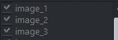
Corners For the selected tile in (4), list here the coordinates of the four corners of the tile, in the coordinate format selected in (6).
The first text field (on the left ) is the X or the Latitude , the second (on the right ) is the Y or the Longitude .
According to the type of raster loaded, corners can be edited or read-only. Do not forget to update with (5) if any change.
Width Width of the selected tile. Read-only.
Height Height of the selected tile, Read-only.
AutoFill UR/LR When checked, setting the lower-left and upper-right corners are enough to define a perfect rectangle area for the tile as the two other corners are automatically computed.
If unchecked, all corners must be set.
Show Daylight Not available yet.
Active Only If checked, will rebuild the list to keep only the tiles displayed on the map, either due to the zoom level or to the clipping.
Will filter out invisible tiles from the list.
Selectable If checked, any tile on the map can be selected with the mouse.
WireFrames When checked, tiles will not be textured, only outlined.
Save Memory When checked, tiles textures that are not displayed (hidden, clipped out, etc.) are removed from the memory. This option is saving the memory but can slow down slightly the display at zoom and panning as the textures will be loaded from the disk for all new fresh tiles.
Fix LOD Use this button when the map seems screwed up, mixing big tiles with small one. This can happen when the building of a layered tiles map has not followed the rules.
Save the map file (18) after the fix.
Pacific Centered Use this button when the terrain is on the pacific side, around the counter-meridian.
Optimize Will remove all tiles that fall outside the terrain area.
Use the
button to overwrite the database file (1) after optimization.
Use the
button to revert to the database file (1). Same as Cancel.
Clipping Set here the maximum size of a tile on the display before being replaced with higher resolution tiles (if available).
This is only for multi-layers tiled maps.
Brightness Set the overall brightness of the raster map or tiles. Left is dark, right is full bright.
Hide If checked, the raster layer will not be displayed on the terrain map.
Stretch on Terrain Use this button to resize the raster map (outer corners) to the actual terrain size.
This is useful to apply a precisely cut map whose corner coordinates are known, on a terrain.
Disabled with tiled maps.
Resize Terrain Use this button to resize the terrain to the actual size of the raster map (if single) or by the outer corners of a tiled map.
Edit Layers