Copyright VirtualSim 2004-2020 - All rights reserved
Web Maps
vsTASKER can display map tiles from different providers once the service is activated and Internet connection available
It is suggested to open an account in each providers and register to get a key, otherwise, limitations in the number of tiles one can download per year will apply.
Also, vsTASKER keeps the tiles in a cache directory for offline use and bandwidth reduction. User can empty this cache at any time for space or copyright reasons.
During normal use of Web Maps, tiles are first searched into the cache before being requested to the server.
How to Use
First, set the terrain origin and dimension to the area you want your simulation to take place, then activate the service. Tiles will automatically be downloaded at
various resolution according to your zoom level.
When setting a new scenario somewhere on the world map, it is advisable to use the City Finder button to get the proper Lat/Lon coordinates of the city and have the scenario origin properly setup. Then just specify the area around the city center and you will be set.
You also can use the world coastline (or select the template WebWorld) and start zooming at the position you want to setup your simulation.
Use the mouse wheel to zoom in and out. Tiles will automatically increase resolution and download textures from the web.
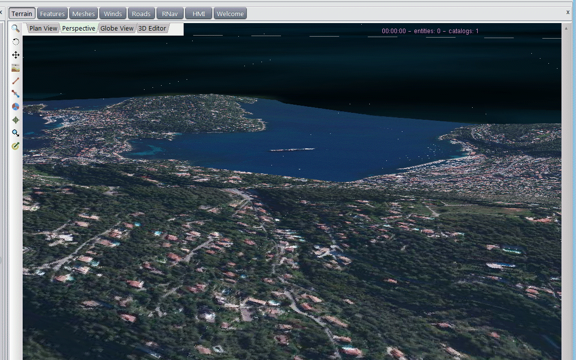
Although plan mode is commonly used, Perspective mode can provide a 3D view with elevations (if available).
Once a tile has been downloaded, it remains available locally in the cache and will not be downloaded again unless the cache is freed.