Copyright VirtualSim 2004-2020 - All rights reserved
Settings
Use this window to setup the dimensions of the area covered by the scenario (in case of multiple terrains) or by the database (in case of unique terrain).
Selector
Use this selector for defining the terrain area by giving the center position in XYZ and width, height in meters.
This format is good for small to medium size areas that are not correlated with real map.
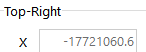
Sometime, we need to setup a scenario around a known city, mostly when WebMap is intended to be used. Instead of zooming and panning inside the world map (which takes time as tiles must be downloaded from Internet), better to set the terrain directly around a given city, with a predefined area (width and height), then Apply and switch ON the WebMap layer.
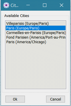
vsTASKER knows 15000 cities of the world, so, it is likely you will find yours.
Enter the name of the city in the field then use the button.
If the city is found, it will be displayed in the Available Cities list (window below). If several cities exist under the same name, just select the one you want and click OK.
The coordinates of the selected city will replace the data of the Origin fields.
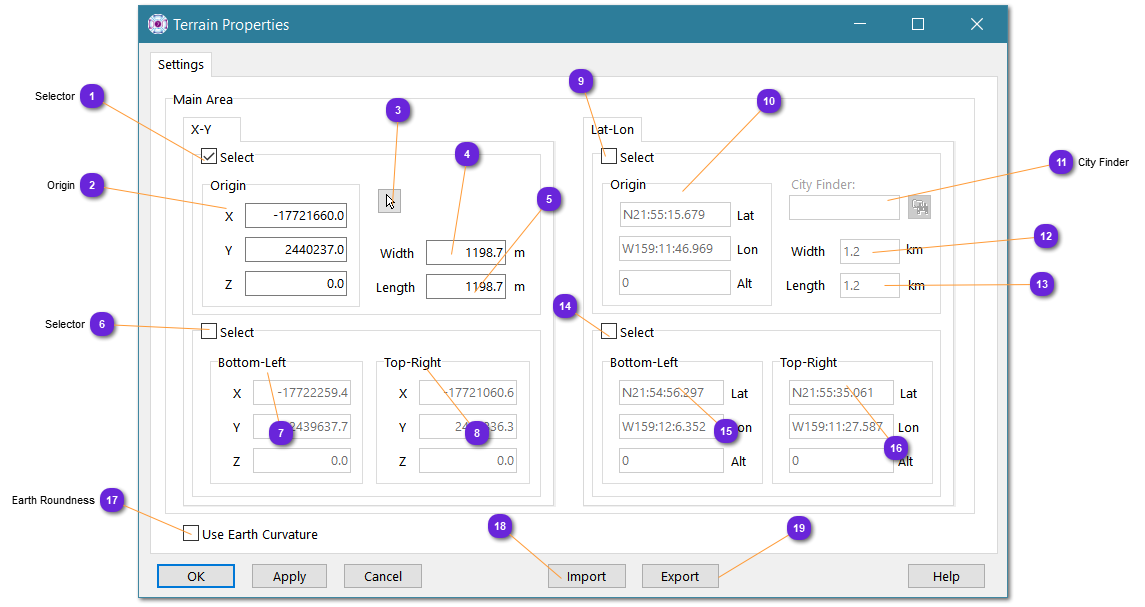
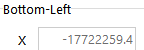
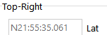
Use this selector for defining the terrain area by giving the two corner positions in latitude, longitude and altitude. Width and height are automatically computed.
This format is good for big size areas that shall be correlated with real map or position.
WGS84 coordinate system is used to compute width and height.