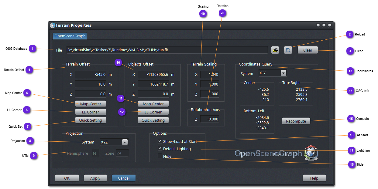
Set here the terrain offset to apply to the current OSG database bottom-left corner.
This can be useful to offset to (0,0,0) an OSG terrain whose coordinates are huge (UTM for example) or to place a (0,0,0) OSG terrain to a specific XYZ coordinates terrain.
These values are used in the setPosition() function of the osg::PositionAttitudeTransform object holding the terrain node.
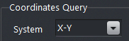
Set here the projection system used in the loaded database. This will insure correct correlations between the 3D world and the 2D layers of the Map terrain.
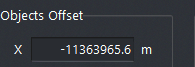
Set here the objects offset to apply to all entities and object coordinated from the scenario in order to position them into the OSG database.
For example, if the scenario terrain origin is (-100,100,0) and the OSG database origin (bottom-left corner) is (1000,1000,0), then, all objects will have to be offset by (1100,900,0) to appear on the 3D scene at the correct position.
These values are used in the setPosition() function of the osg::PositionAttitudeTransform object holding the 3D model node.
If the OSG terrain is offset, then the objects normally do not have to be also offset. It is often one or the other.
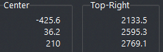
Use this button to compute the offset to apply to all entities and objects to make them (0,0,0) on the OSG terrain, relatively to the actual terrain center.
Use this button to compute the offset to apply to all entities and objects to make them (0,0,0) on the OSG terrain, relatively to the actual terrain lower-left corner.
Extract from the OSG database the coordinates to display in (9).
The scene is loaded into a special process that is called by vsTASKER. Wait for the process to finish. Sometimes, the process crashes but the extracted coordinates are correct and will be shown in (9).
If this is checked, the OSG database is loaded and the scene is created in the plugin. In the Terrain Map, 3D View will automatically be selected so that the 3D editor will be shown as soon as the scenario is loaded.
If unchecked (default), the scene node is created only when the 3D Editor view is selected an plugin loaded.
When checked, the terrain light will be set to default uniform ambient light. When unchecked, a spot light will be positioned 1000 m above the terrain center.