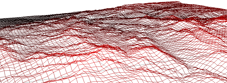
Another way to represent a terrain with elevations is to use wireframes.
A wireframe are like a mesh made of polygons. A texture can be applied on the full wireframe like a skin.
The more polygons, the more accurate will be the result on the display and regarding the altitude request.