Copyright VirtualSim 2004-2022 - All rights reserved
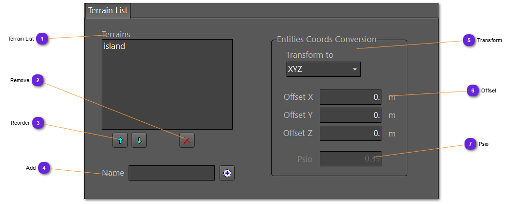
Terrains
Definition of the terrain model to use.
The files must be compatible with the selected IG.
If no terrain is defined, a 100x100m checker is created instead. To create a bigger checker, add a terrain with no 3D file but with specific dimensions.
Terrain List
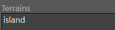
List of all the terrain layers to import in the IG.
Double click on any layer name to open the setting window.