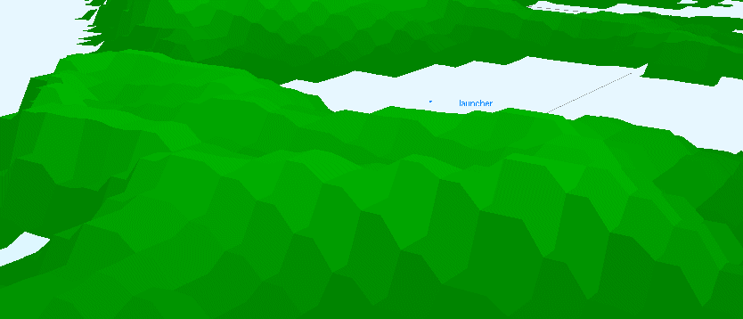
Elevation databases are based on DTED, DEM, HGT or ASCII Grid source data.
They are organized as tiles of elevation plots organized in rectangular grids.
Each corner of the tile is geo-localized and plots coordinates are linearly interpolated between corners.