To properly display this page you need a browser with JavaScript support.
File Select here the converted Arc-Info database . Supported formats:
geo : proprietary format of TerrainBuilder tool.
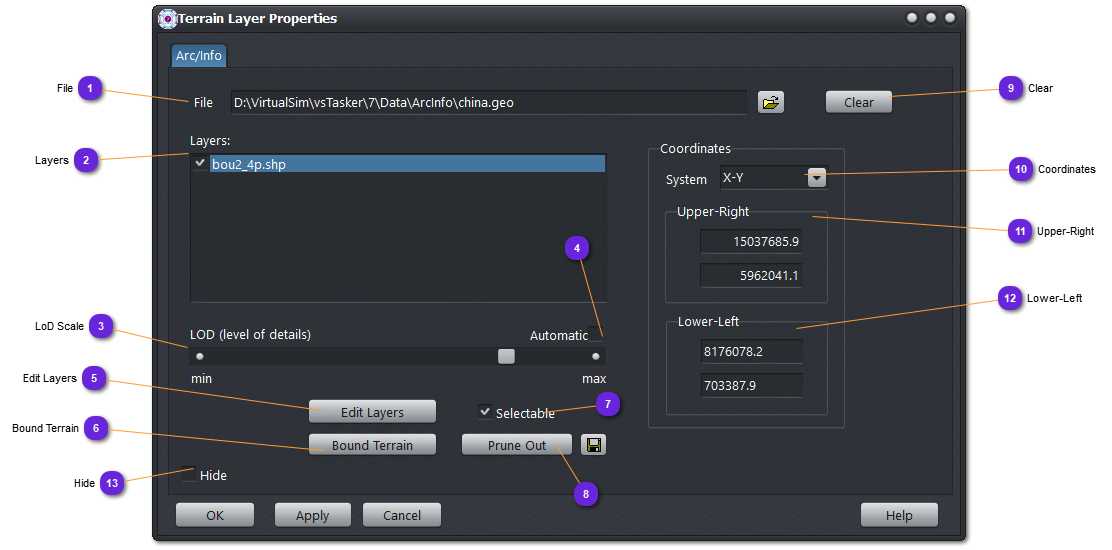
Layers List of all the layers included into the imported database.
When a layer is selected , the corner coordinates are updated (11,12)
When a layer is unchecked , it will not be displayed on the terrain map.
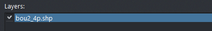
LoD Scale When Automatic LoD is not checked, use this slider to manually set the drawing quality that will be kept whatever the zoom level.
A layer need to be selected into the list (1).
Automatic LoD If clicked, the number of segments (lines, polygons) displayed will be computed according to the zoom level. This is only for speeding up the drawing process. Internally, the number of segments is maximum and depends on the database definition.
A layer need to be selected into the list (1).
Edit Layers Popup the local editor.
Bound Terrain Recalculate the terrain settings to match the Open-Flight (database) area (utter most corners).
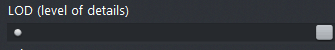
Selectable If checked, use the mouse to select any layer of the Arc-Info database. Useful to identify some shapes for edition or removal.
Selected layers are displayed in bold.
Optimize Removes all shapes (if any) that fall entirely outside the terrain area.
Use the
button to overwrite the Arc-Info file.
Clear Remove the Arc-Info from the memory and scenario.
Coordinates Select the coordinate units for the displayed values of the corners.
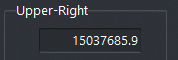
Upper-Right Coordinates of the top right corner of the Arc-Info database or only the selected layer (1).
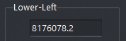
Lower-Left Coordinates of the bottom left corner of the Arc-Info database or only the selected layer (1).
Hide If checked, the Arc-Info database will not be displayed on the terrain map.