To properly display this page you need a browser with JavaScript support.
vsTASKER 7
User Manual
×
Menu
Index
Search
Search
vsTASKER User Manual
General Overview
Terrain Layers
Formats
Nav Charts
Previous page
Next page
Copyright VirtualSim 2004-2020 - All rights reserved
To properly display this page you need a browser with JavaScript support.
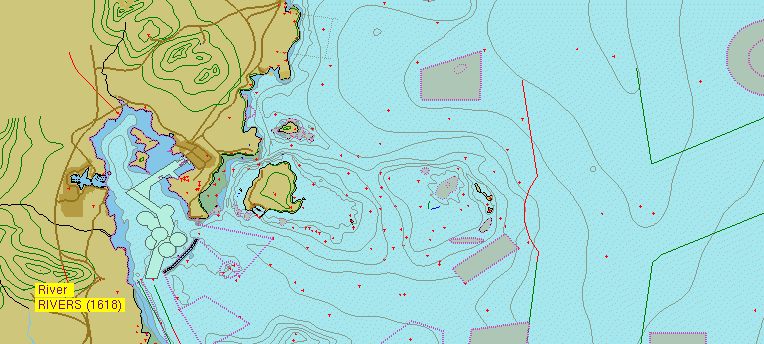
Nav Charts
Navigation charts are converted from
S57 maritime
chart format using the TerrainBuilder tool.
They are used for displaying maritime area for navigation.
Contents of Nav Charts
Properties