To properly display this page you need a browser with JavaScript support.
File Select here the converted SVG database . Supported formats:
vgm : proprietary format of TerrainBuilder tool.
svg : raw format that can be imported into the database.
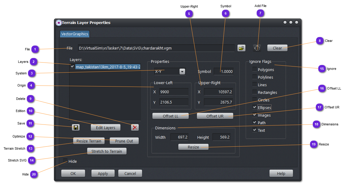
Layers List of all layers belonging to the loaded SVG database or the imported raw file.
To unselect the layers, just click outside the list.
System Select in the dropdown list the coordinate formats to be used to display the lower-left and upper-right corners.
XY : flat earth, no projection.
Lat/Lon : latitude/longitude literal coordinates.
LL Decimal : latitude/longitudes in degrees.
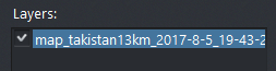
Origin Lower-left corner of the database (if no layer is selected) or the selected layer lower-left corner.
These values can be modified by the user for repositioning the layer.
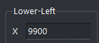
Upper-Right Upper-right corner of the database (if no layer is selected) or the selected layer upper-right corner.
These values can be modified by the user for rescaling the layer.
Symbol For the selected layer, set the scale of the symbols (bitmaps).
Add File Use this button to add the selected SVG file in (1).
Clear Free the SVG database from all loaded layers.
Delete Remove from the SVG database the selected layer of the list (4).
Edition
Save Rewrite the VGM database with the modified layers.
Optimize Use this button to prune out all drawings outside the terrain area. This is useful to reduce the size of the database when only a part of the terrain is used.
Do not forget to save the SVG terrain (see Save button above). Use another file name if you want to keep the previous SVG file.
Terrain Stretch Bounds the terrain min and max corners to the actual SVG database corners.
Stretch SVG Set the Lower-left and Upper-right corners of all layers to the actual min and max corners of the terrain.
If the SVG database contains one layer or if all layers are natively of the same size and position, use this button. If not, the resulting database will be mixed up.
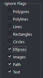
Ignore Select here the type of shapes that must be ignored (skipped) in the drawing process.
Offset LL Enabled only when a layer is selected.
Reposition the Lower-left corner of the selected layer to the modified Origin position.
Offset UR Enabled only when a layer is selected.
Reposition the Upper-right corner of the selected layer to the modified position.
Enable a rescale as the origin (Lower-left) corner will remain unchanged.
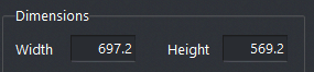
Dimensions Dimensions in meters of the selected layer (or the full SVG database if no layer selected).
The computation is according to the coordinate system selected.
Resize Enabled only when a layer is selected.
Recompute the Upper-right corner according to the new width and height entered by the user.
Hide If checked, the SVG database will not be displayed on the terrain map.