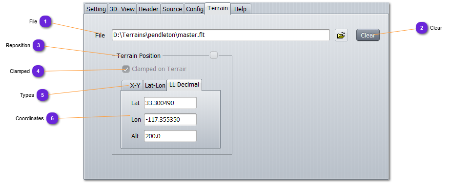
FileUse the open icon to select the file that will be imported into osgEarth.
Supported terrains are OSG, IVE and OpenFlight. They must be geodetic although, not mandatory.
Some terrains cannot be loaded without explanation. They will not be visible. If so, try go get a geodetic projection for it.
|
|
 ClearSuppress the file and reset the coordinates.
|
|
 RepositionNot available for the moment
|
|
 ClampedIf selected, the terrain altitude will not be considered and the imported terrain altitude will be clamped on the below osgEarth terrain surface.
If not selected, the given altitude will be used for the lower-left corner of the terrain (that might then float above earth surface).
|
|
 TypesSelect here the format of the terrain coordinates, in case of repositioning.
|
|
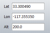
 CoordinatesEnter here the coordinates of the lower-left corner of the imported terrain.
Some terrain lower-left corner is (0,0) and then, offsetting is easy. Some are already georeferenced and do not need reposition.
|
|