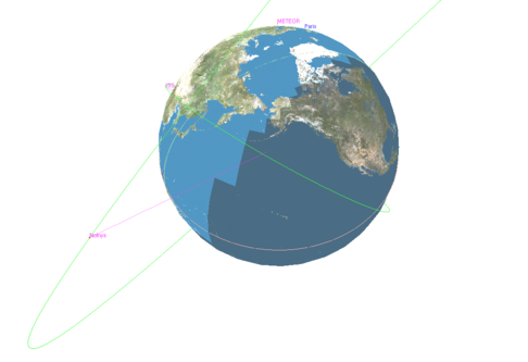
Use the Left mouse button to rotate the camera in all directions, earth centered.
Right mouse button is not use for now (earth will automatically re-center after the offset)
Use the mouse wheel to zoom in and out.
When a satellite is selected on the environment list, use the button to track it.
Right mouse button will then rotate the camera in all directions, satellite centered.
Use the mouse wheel to zoom in and out the satellite 3D model.
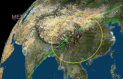
If the satellite holds a sensor (like IsoElevation component or any other Space sensor whose drawing is handled by a validation function), it will be displayed on the earth in yellow (see below).