Copyright VirtualSim 2004-2020 - All rights reserved
Georeferenced Maps
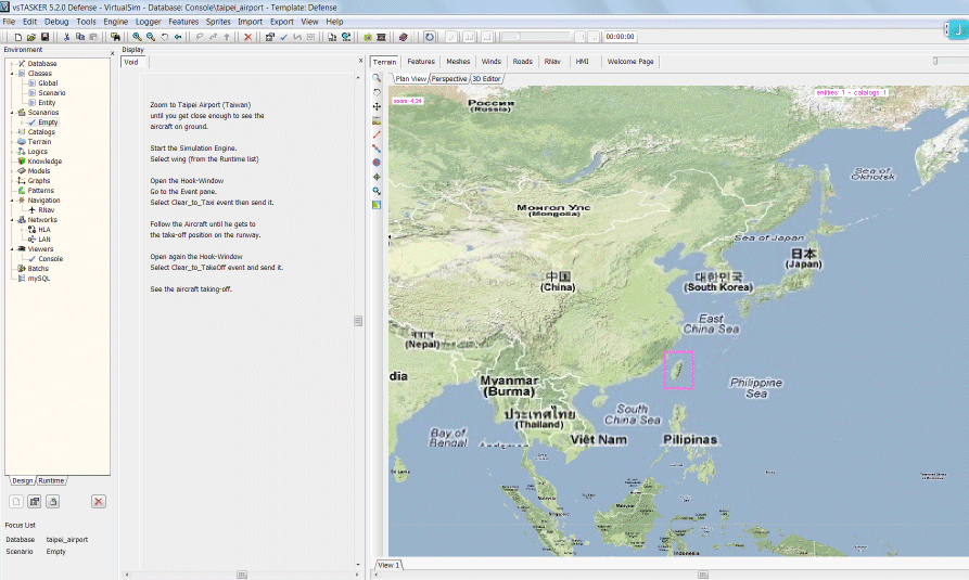
Let's open taipei_airport sample.
Select in the main toolbar, then open taipei_airport.db in data/db/samples/console/taipei_airport
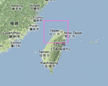
vsTASKER supports multiple level of detail zooming on tiled map that are georeferenced, in order to provide accurate simulation on very big areas or by combining high level accuracy on certain areas while maintaining a low resolution on others.
Once loaded, your application will looks like below:
Load the simulation engine with the button . A console application should pop.
Start the simulation with .
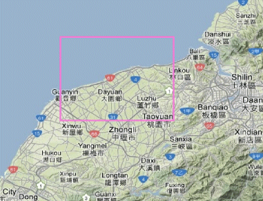
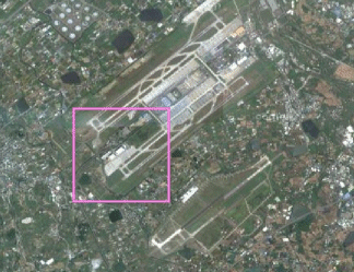
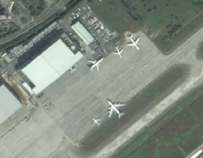
As nothing really happen, we must zoom strongly on the Taiwan island and precisely, on Taipei Airport.
You will see that the zooming in will automatically increase the resolution, as the raster database already got the raster loaded for this specific area. vsTASKER is not streaming the web nor accessing a huge worldwide database. This area is already available offline into Data/Map/Terrains/taipei_airport.map
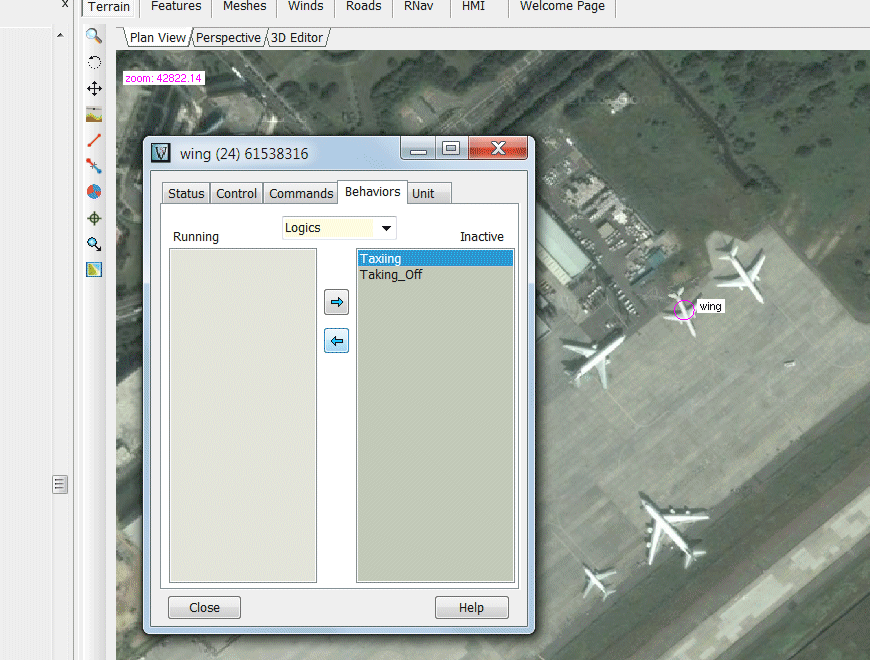
Now, double-click the aircraft between the two other to popup the hook-window:
Then in the Hook-Window, select the Behaviors pane, then select Taxiing Logic and use the button to move the Logic from Inactive to Running.
The wing Entity will start taxiing.
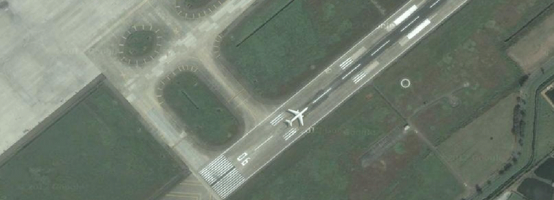
You can move the map using the Ctrl key depressed while moving the mouse with the left button down.
Once the Entity aligned on the runway, select Taking_Off Logic and activate it the same way, for take-off.