Copyright VirtualSim 2004-2020 - All rights reserved
Pacific Date Line
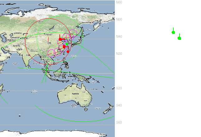
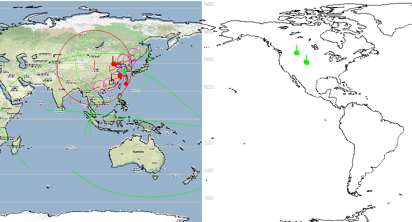
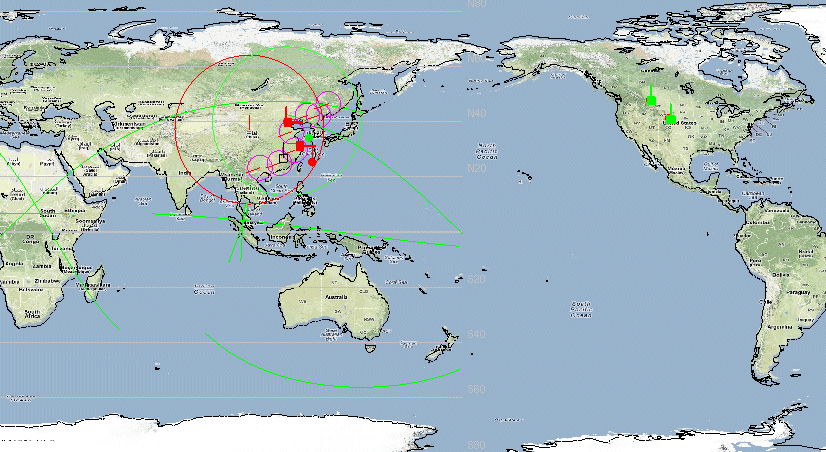
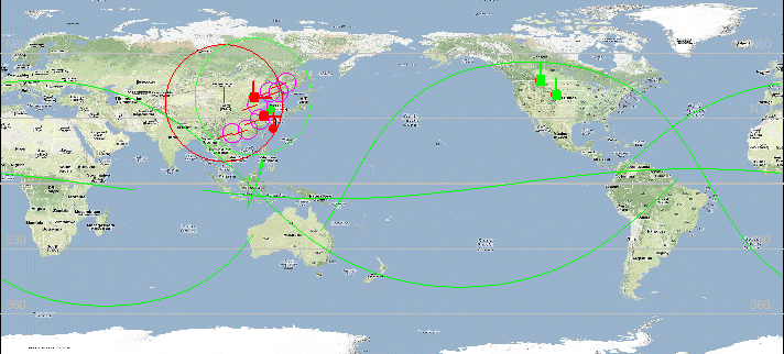
vsTASKER converts Lat/Lon coordinates into XY according to a flat earth projection.
It is very convenient and efficient for small to medium areas but might lead to some problems when dealing with large map areas, mostly when these one are centered around the pacific date change line, when longitudes change from -179 degrees to 180 degrees.
To correct such defect, the solution is to use a proper terrain database: