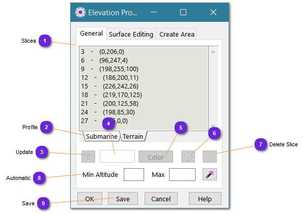
This panel is defining the colorization of the elevation terrain, per altitude slices.
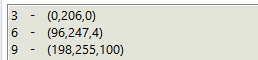
 SlicesList of terrain slices with the associated color.
For i.e., in the list above, the terrain height from [0..50[ meters is colored in RGB as (0,128,0)
|
|
 ProfileTwo types of coloring is reserved: above see level and submarine terrain (negative values).
|
|
Below sea level terrain cannot mix with normal coast terrain as only one color layering is covering the whole elevation database.
| |
|
 UpdateUse this button to update the selected slice with entered text and color values.
|
|
 Low AltitudeSpecify the low altitude (in meters) of the selected terrain slice (high altitude is the next slice low altitude -1)
You can change this value and the slice will be automatically updated and the list sorted on altitude.
|
|
 Slice ColorSpecify the color to apply to all terrain pixels belonging to the selected slice (from this slice altitude to the next slice altitude)
|
|
 Add SliceWill add a new slice at the altitude specified in the text field, with default coloring.
|
|
 Delete SliceWill remove the selected slice.
|
|
 AutomaticUsing the wizard button will automatically distribute colors and slice between the minimum and maximum altitudes defined in the text field.
Automatic coloring will depend on the profile.
|
|
 SaveSave (overwrite) this color setting to the elevation file itself (instead of just the database).
By doing so, the next database that will use this elevation file will get this setting.
|
|