To properly display this page you need a browser with JavaScript support.
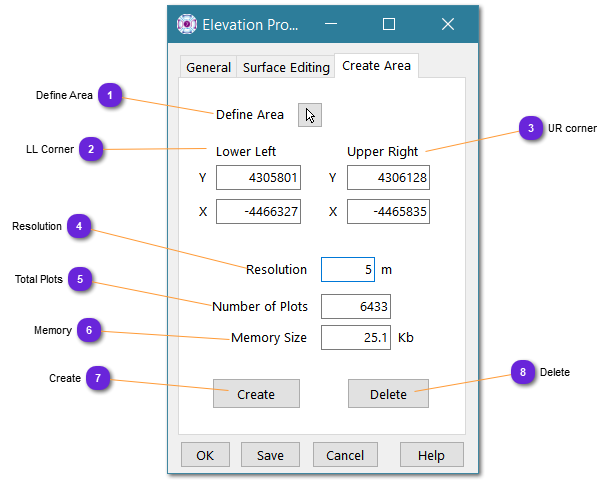
Use this panel to create new map layers for the terrain elevations.
Define Area Select the arrow button to draw on the map the layer area to create.
The definition is a rectangle from top left to bottom right.
When selected, the window disappear and the cursor changes to a double arrow, waiting for the user to draw the area. When done, the window comes back.
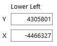
LL Corner Lower left corner coordinates of the layer area. Can be modified.
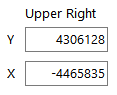
UR corner Upper right corner of the area. Can be modified.
Resolution Specify here the width of a layer plot (square). The smaller the plot, the higher the accuracy but the heavier in memory. As several layers can be used and mixed inside an elevation terrain, it can be a good idea to create a low level area with big plots and several smaller layers with small size plots for better accuracy, on area of interest.
Total Plots According to the size of the terrain and the resolution specified above, this is the number of plots that will be created.
Memory According to the number of plots computed above, this is the memory needed by the layer.
Create If the setting is satisfactory, use this button to create this layer and add it to the terrain elevation database.
The name used is defaulted. generated , then generated_1 , generated_2 , etc.
Delete Delete (suppress) the latest generated layer (bottom of the list).