To properly display this page you need a browser with JavaScript support.
vsTASKER 7
User Manual
×
Menu
Index
Search
Search
vsTASKER User Manual
GUI Overview
Main Menu
Tools
Terrain Data
Previous page
Next page
Copyright VirtualSim 2004-2020 - All rights reserved
To properly display this page you need a browser with JavaScript support.
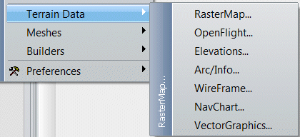
Terrain Data
RasterMap:
call the
RasterMap
setting window
OpenFlight
: call the
OpenFlight
setting window
Elevation
: call the
Elevations
(DTED/DEM) setting window
Arc/Info
: call the
Arc/Info
setting window
WireFrame
: call the
WireFrame
setting window
NavChart
: call the
NavChart
setting window
VectorGraphics
: call the
SvgMap
setting window